Our tourist maps
See Mexico as you have never seen it before! There are 4 new and printable Mexico travel maps to guide you. Discover a country full of mysteries, traditions and ancient Maya customs. Choose between outstanding tourist sites nestled in lush countryside or magnificent beaches.
Region map
From Mayan and Aztec civilization remains to heavenly beaches with turquoise waters, Mexico is a land of contrasting scenery. The country glows with archaeological richness, the result of a shaken and enigmatic past, but also stands out with its arid landscapes and awe-inspiring forests. The beach resorts are not to be left out, offering gigantic waves and seabeds populated with whales. Last, but by no means least, Mexico is a land of cultural and gastronomic traditions, a land of folk festivals, including the famous Día de los Muertos (Day of the Dead).
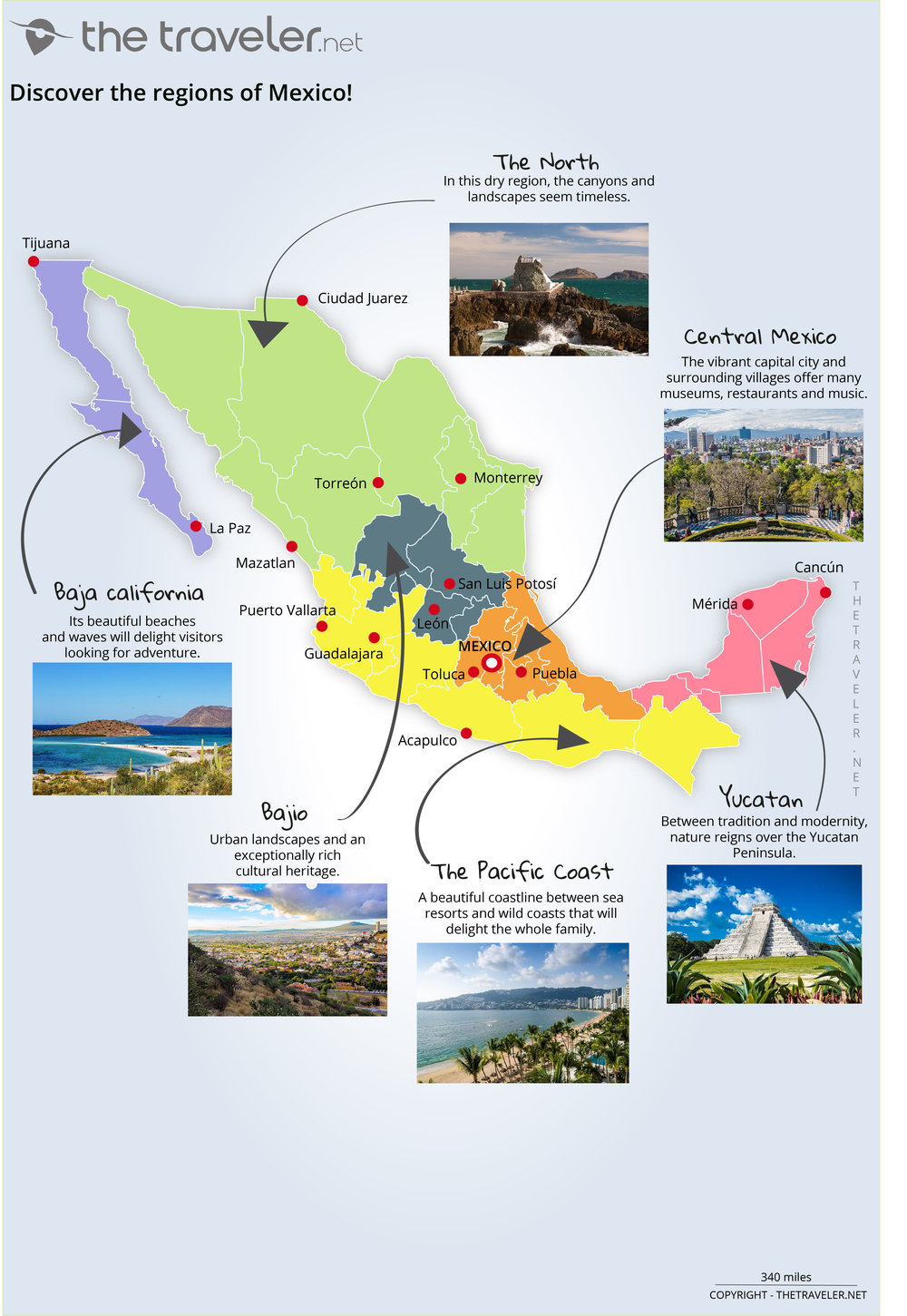
Overview of 6 tourist regions
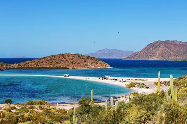
Baja california
Scuba diving enthusiasts can enjoy the Baja California Peninsula in the Gulf of California. This area extends for 1250 km along the coast towards the United States. In La Paz or Cabo, or on the island of Guadalupe, fins and snorkels are the order of the day!
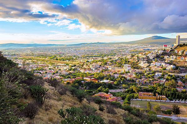
Bajio
Known as Bajio Mexicano, this region is home to fertile plains, tropical jungles and arid deserts. Here you’ll find many traces of Mexico’s colonial past: historical monuments, Franciscan Missions, mines; all feature on the UNESCO Cultural Heritage of Humanity list.
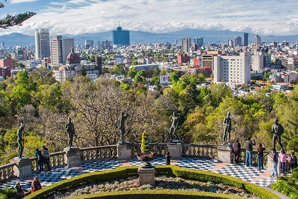
Central Mexico
Central Mexico is the most urbanised part of the country. Mexico City is a must see, but it’s also worth a trip to Cuernavaca, the "City of Eternal Spring", Puebla, Toluca and Veracruz!
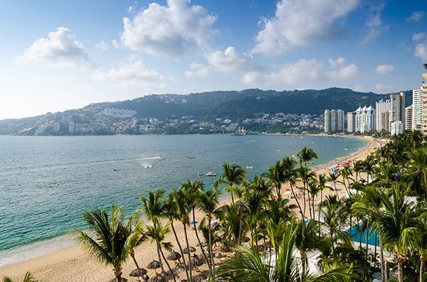
Pacific coast
Covering an area of over 1700 km, the Pacific coast combines mountainous backdrops with beaches and valleys. Stop off in Mazatlan and experience the town’s famous carnival, or even Guadalajara where you can enjoy a shot of tequila while listening to Mariachi music.
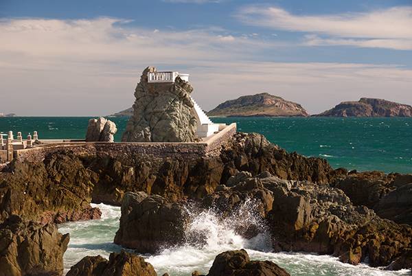
The North
A lightly populated region with barren and mountainous landscapes, canyons that will take your breath away, meteorite impact craters, beach resorts and one of the best carnivals in the world.....what’s not to like about northern Mexico!
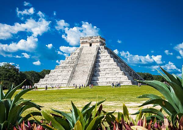
Yucatán
Welcome to the land of the Maya, nestled between dense jungle and sisal fields. The unmissable Chichen Itza and underground cenotes with crystal-clear waters - these are just an example of the wonders which await you in Yucatan.
Attractions maps
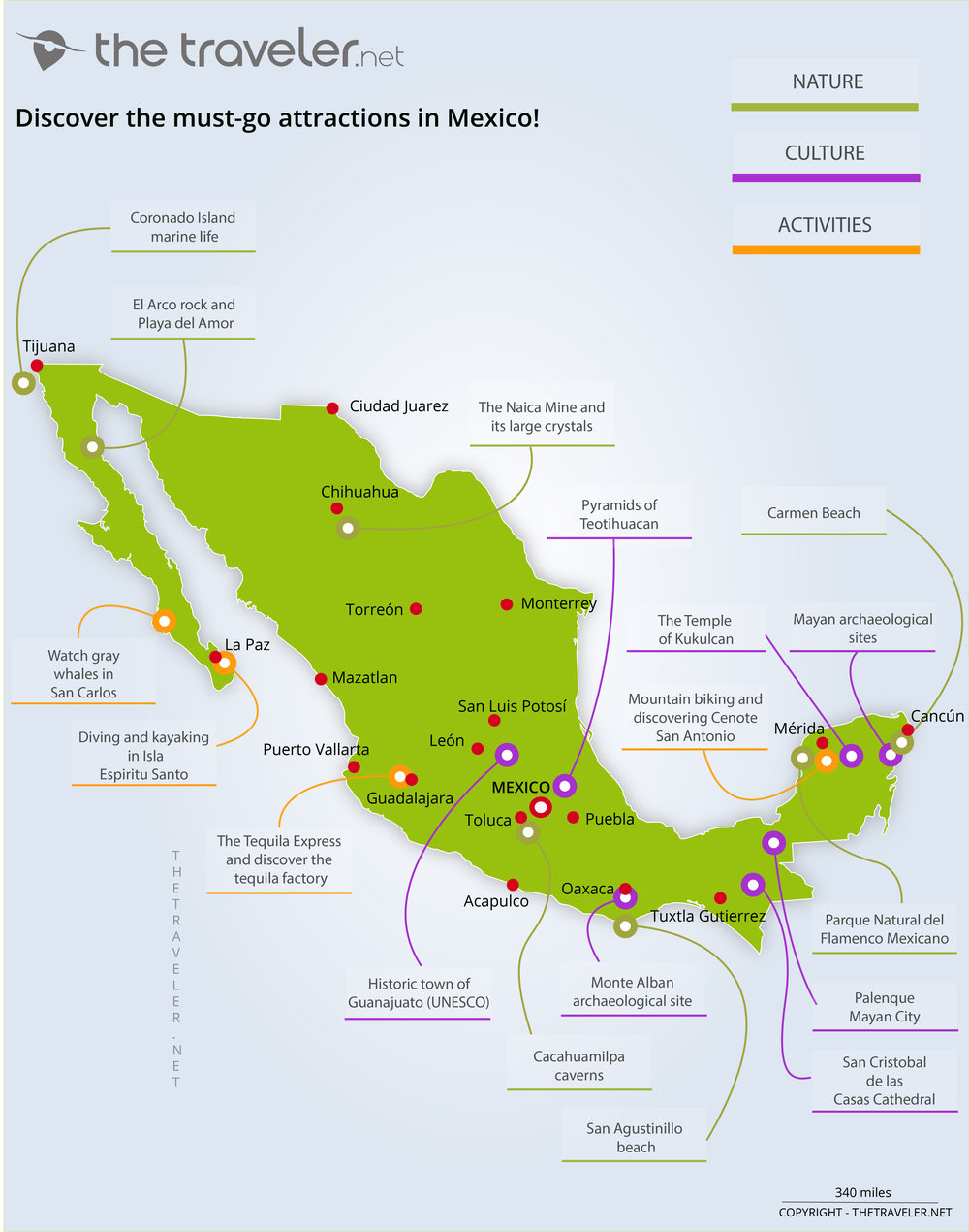
Mexico is home to the mysterious remains of ancient Mexican civilizations, including the pre-Columbian city of Teotihuacan, the Mayan temples of Palenque and the Calakmul pyramids. The colonial cities of Oaxaca and Guanajuato are known for their churches and stone palaces and offer visitors the opportunity to buy colourful craft souvenirs. The Pacific and Caribbean coasts offer visitors diving and snorkelling adventures, rafting in Veracruz and magical encounters with grey whales off Puerto Vallarta. You can also visit San Carlos, Isla Espíritu Santo, Isla Mujeres near Cancún or the magnificent Carmen and San Agustinillo beach resorts.
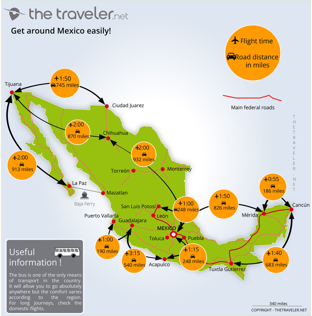
Routes and distances maps
To travel around the mainland, Mexico has an affordable network of internal flights. There are also ferries linking the Baja California peninsula with the rest of the country. But it’s the bus network which really stands out. Travelling by bus can save you a lot of money and is a relatively comfortable way to travel. Obviously, having a car will afford you a little more freedom, but car rental can be expensive and away from the 6000 km of motorways, the secondary roads can be somewhat difficult to navigate.