Our tourist maps

Discover Kenya like never before! Here are 4 printable tourist maps. A trip to Kenya is an opportunity to discover breathtaking landscapes and regions with rich flora and fauna. Use our travel distance maps in order to facilitate your trip organization. Also, don't forget to check out the secret places map created by our local guide, Fred! Find out about all our maps in order to prepare your trip as well as possible and in the best conditions! Discover our maps to plan your trip in the best possible way.
Region map
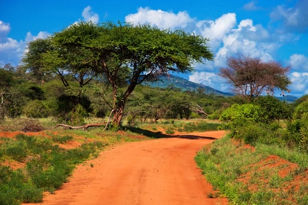
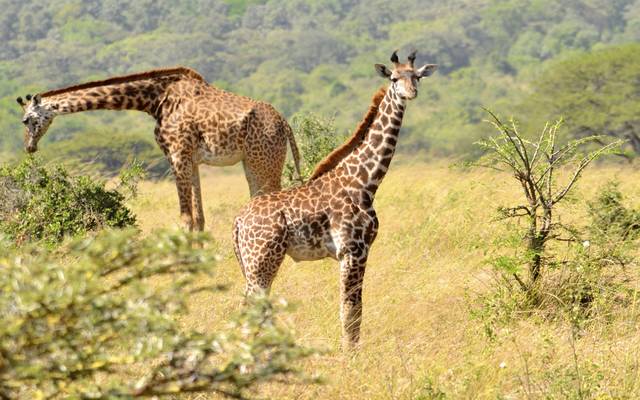
Kenya, the country of safaris and adventures in the depths of breathtaking and wild natural parks. A trip to Kenya is an encounter with the most impressive fauna and flora in the world, where the Bogoria lake flamingos meet with the wildebeest migration and the natural beauty of cheetahs.
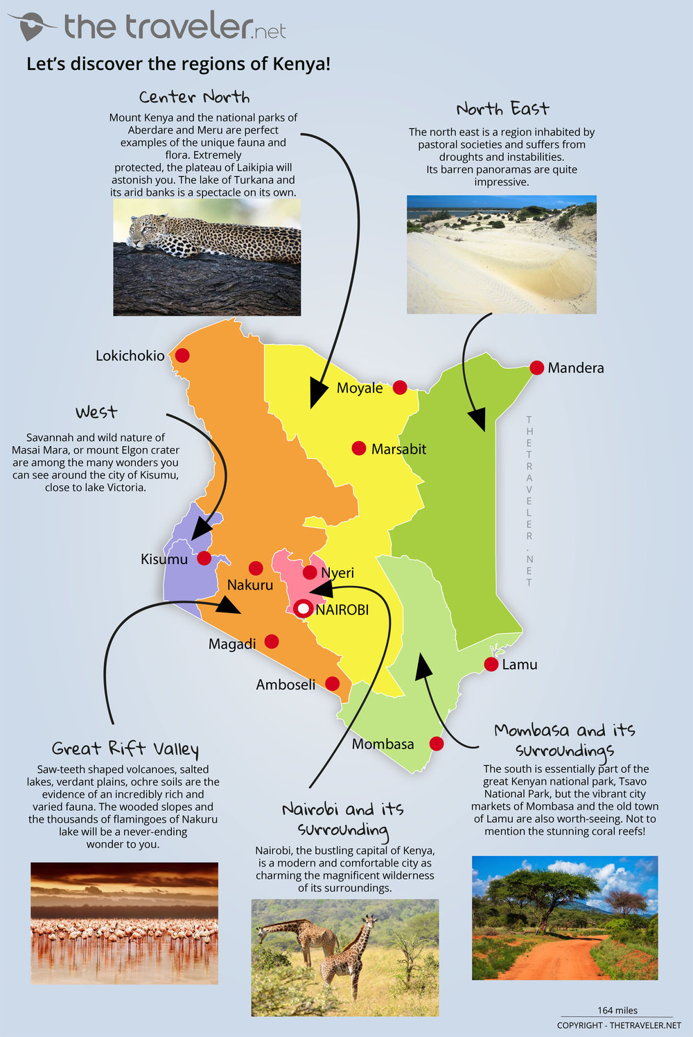
Overview of 5 tourist regions
Centre
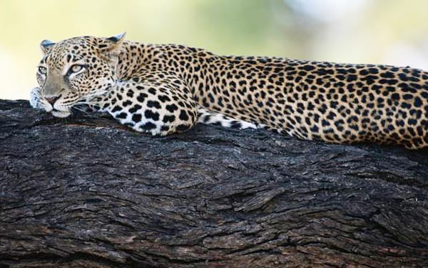
Mount Kenya and the Aberdare and Meru national parks are perfect examples of the unique fauna and flora. Extremely protected, the Laikipia plateau will astonish you. The Turkana lake with its arid banks is an incredible sight on its own.
Great Rift Valley
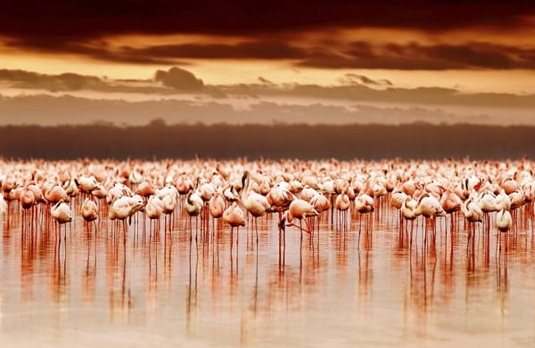
Saw-teeth shaped volcanoes, salty lakes, verdant plains, ochre soils are the proof of an incredibly rich and varied fauna. The Nakuru lake's wooded slopes and thousands of flamingoes will be a neverending wonder to you.
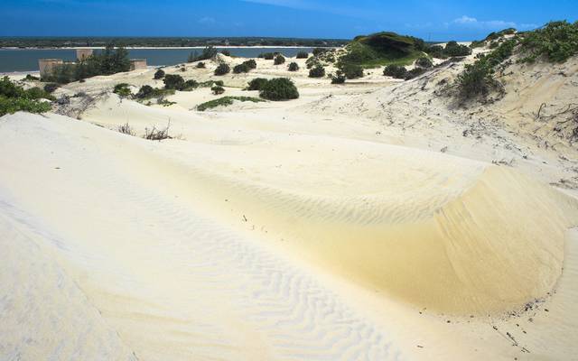
Mombasa and its surroundings
Mombasa and its surroundings. The huge Tsavo National Park covers most of the southern region of the country. You mustn't miss the busy markets of Mombasa and the old town of Lamu as well as the superb coral reef.
Nairobi and its surroundings
Nairobi, the bustling capital of Kenya, is as modern, comfortable and charming, as the magnificent wilderness of its surroundings.
North East
The north east is a region which is inhabited by pastoral societies and suffers from droughts and instability. However its barren panoramas are quite impressive.
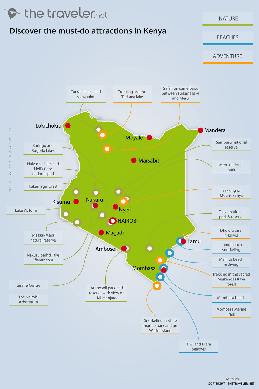
Attractions maps
Mount Kenya, a little gem for hikers, is the second highest peak in Africa after Kilimanjaro. The Kenyan coast has numerous unexpected surprises to offer with its beautiful, idyllic coconut bordered beaches.
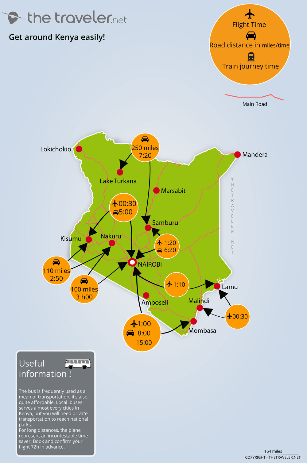
Routes and distances maps
A direct flight from London allows you to land 10 hours later in Nairobi, the crossroads and the national capital. Getting around Kenya is just as easy. Local buses frequently serve all cities in the country, with Nairobi and the coasts being the most well connected. To discover the North, you will need to rely on matatus (public transit minibuses). As a precaution, we advise you never to sit in the front or back of the chosen means of transport. A train connects Nairobi 3 times a week to Mombasa, 15 hours of travel, in the midst of the night, remains an unforgettable experience. Apart from buses, taxis of all kinds, boats or traditional Swahili dhows, renting a car remains a safe value, but far from being cheap ! The basic rates often seem reasonable, but adding mileage and insurance to that, renting a small SUV for less than £100 a day becomes difficult. It is preferable to rent the services of a professional driver for a few more pounds and additional safety.
Map of my secrets places